loader image

Boreal ISR

A UAV specialising in surveillance and reconnaissance

A discreet unmanned aircraft vehicle

The BOREAL ISR UAV enables the execution of discrete reconnaissance and surveillance missions on sea or land, utilizing visible E/O HD or Infrared (IR) sensors. Equipped with an on-board gimbal camera, it provides a 360° day/night vision. This UAV is efficient for both marine and terrestrial operations, and provides real-time monitoring of the area with the highest level of precision.

VALIDATED SURVEILLANCE PAYLOADS


Gyrostabilized Turret - MERIO TEMIS XL16

  • Weight: 1800g
  • Height: 234mm
  • Min diameter: 105 mm 
  • Max diameter: 160 mm
  • Pan: 360° / Tilt: 360°
  • IP rating: IP64
  • DRI (Detection/Recognition/Identification)
    Cargo ship, Cruise ship: <15000m / <4000m / <1500m
    Commercial fishing vessels: <6500m/ <5500m/ <1000m
    Sailing boat / traffic boat: <6000m/ <5500m/ <800m

 Between 1000 and 3300 ft (800 and 1000m) and in standard weather conditions.


Gyrostabilized Turret - MERIO TEMIS XL

  • Weight: 950g
  • Height: 182mm
  • Min diameter: 85 mm (main body)
  • Max diameter: 127 mm
  • Pan: 360° / Tilt: 360°
  • IP rating: IP64
  • Man DRI (Detection/Recognition/Identification): 1,029 m / 309 m / 218 m
  • Vehicle DRI: 2352 m / 738 m / 409 m


Gyrostabilized Turret - MERIO TEMIS XL14

  • Weight: 1300g
  • Height: 209mm
  • Min diameter: 85 mm
  • Max diameter: 140 mm
  • Pan: 360° / Tilt: 360°
  • IP rating: IP64


Gyrostabilized Turret - ASIO 155 

• Innovative 3-axis stabilization system
• Day and night sensors
• Integrated video processing:

  • Stabilization
  • Deinterlacing
  • Super-resolution
  • target detection
  • Click and follow
  • Inserting metadata

A RPAS adapted to your needs

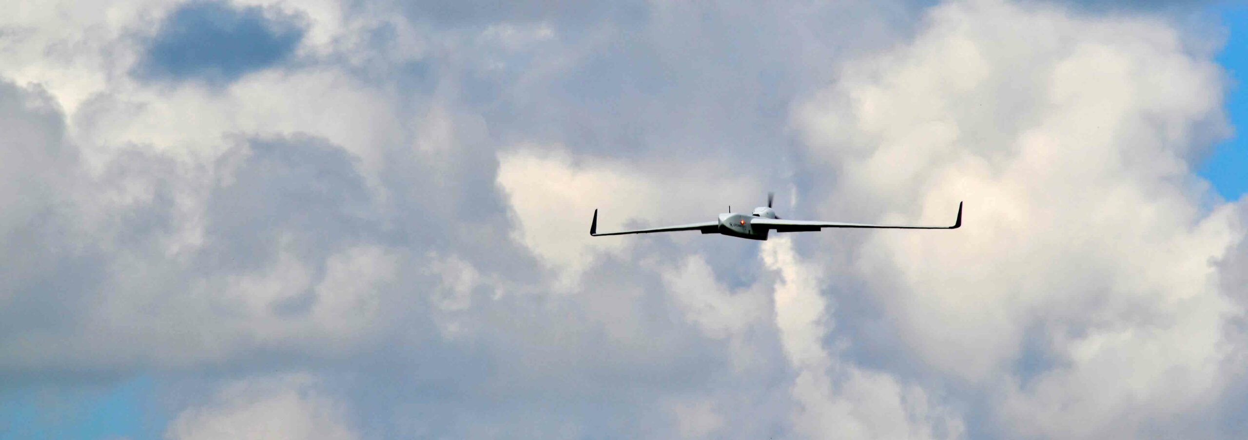
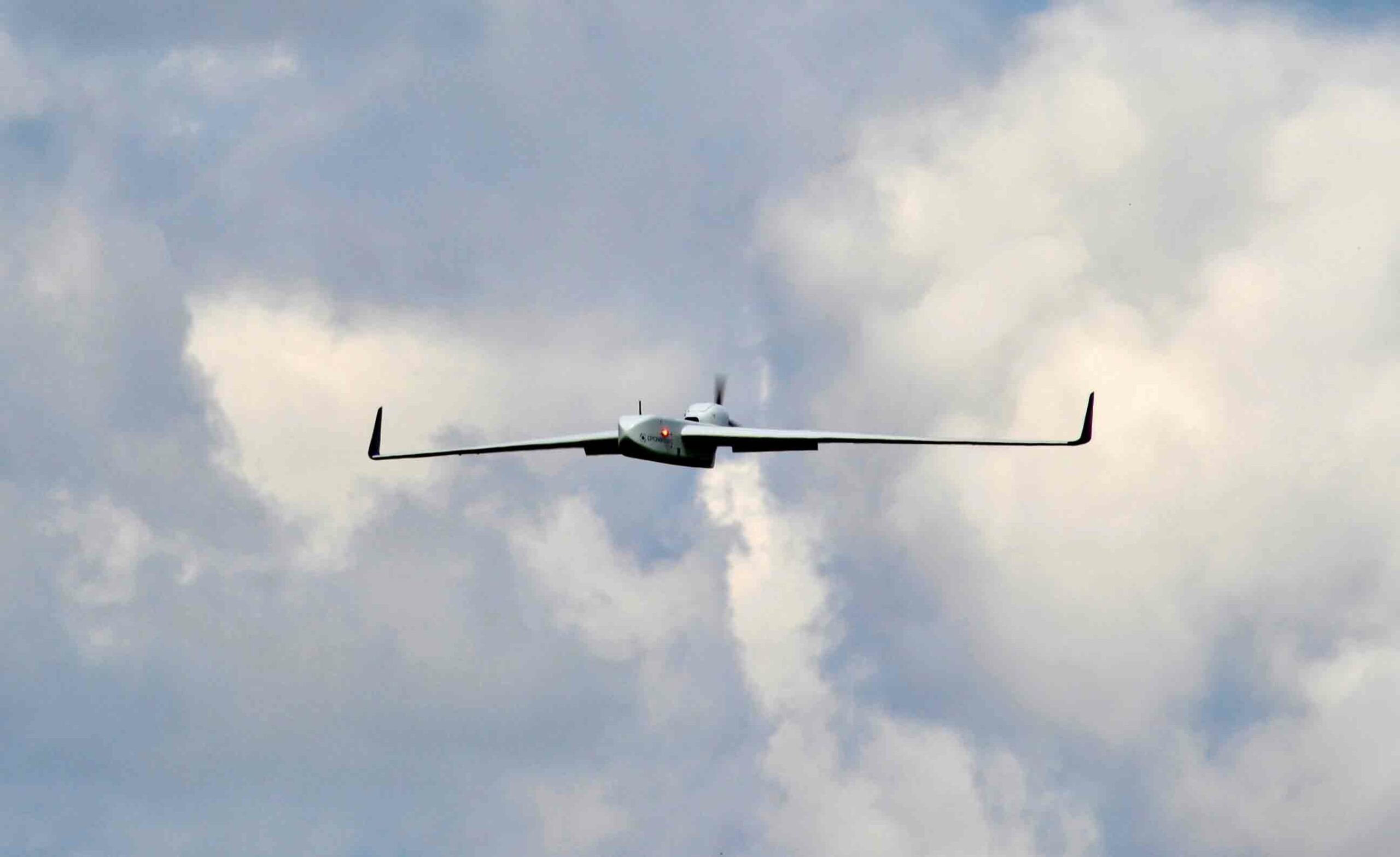
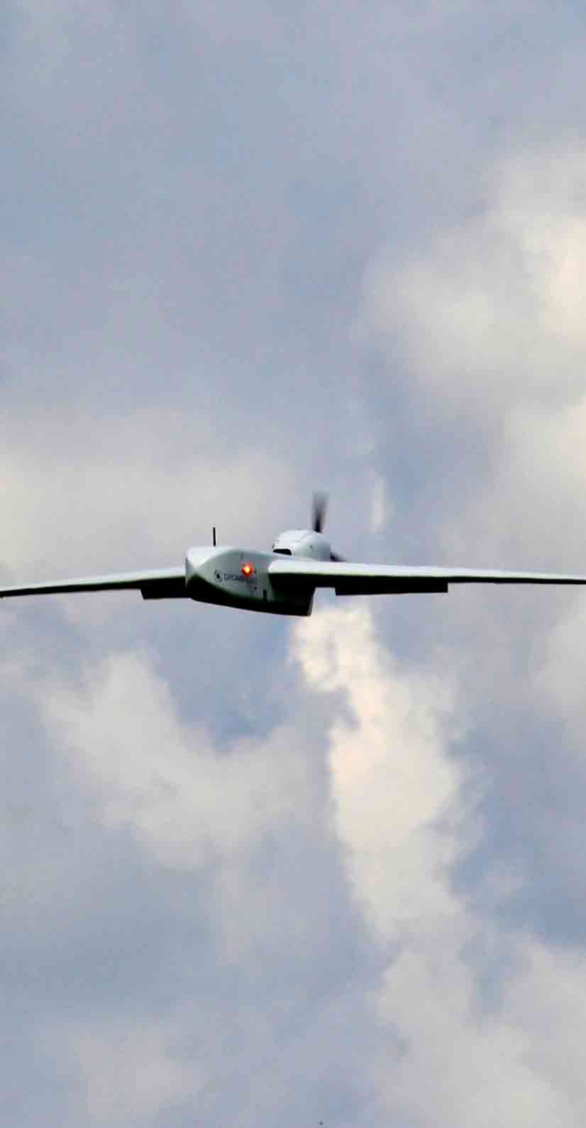
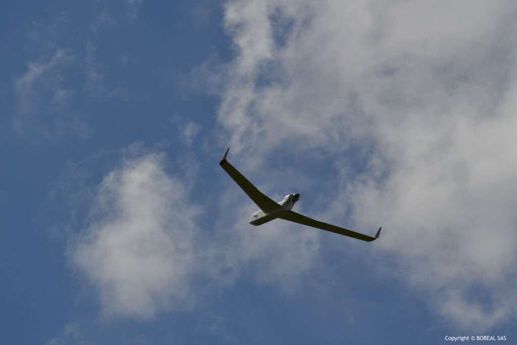
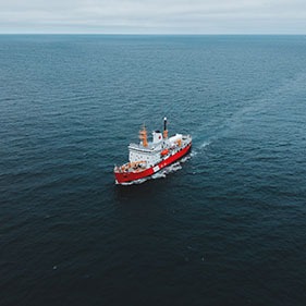
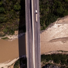
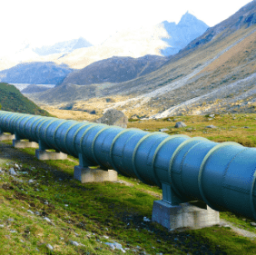
With its endurance capabilities of up to 8 hours and a maximum altitude of 1500m (4,921 ft), the BOREAL ISR UAV allows you to view overflown areas in real-time and with complete discretion. It is suitable for numerous safety and security applications at sea and on land, including securing exceptional transport and communication channels, monitoring infrastructure, and detecting forest fires, among others. It is also used for missions to protect terrestrial and maritime fauna and flora, such as monitoring dolphins and whales.

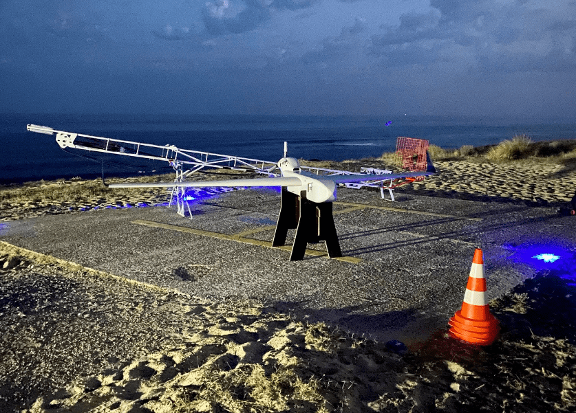
The aircraft, catapult, and ground station system can be easily deployed in less than 30 minutes on any type of terrain, including isolated areas, and are infrastructure-free.

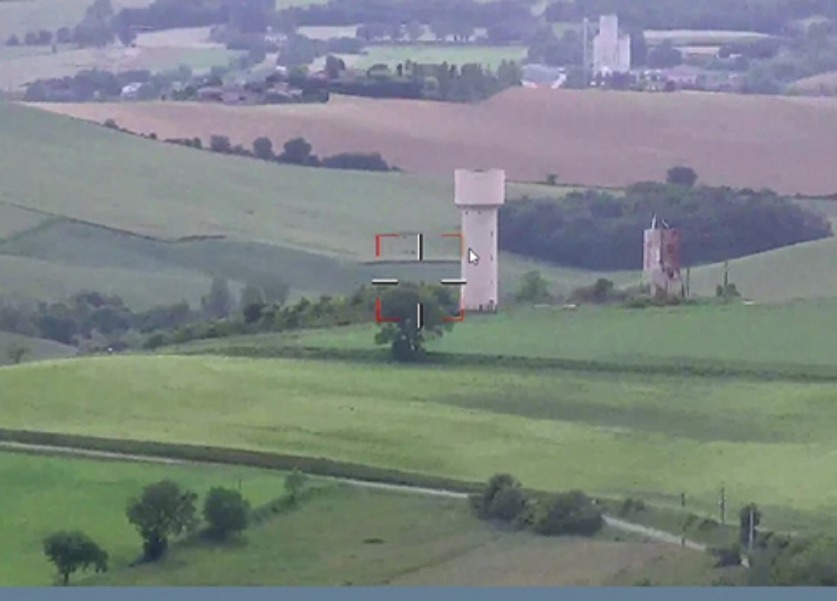
Our BOREAL GROUND CONTROL STATION (BGCS) features IHM software that enables precise monitoring of the aircraft’s evolution and visibility on all telemetry parameters. The C2 real-time link concept allows for direct action on the flight plan to ensure agility in conducting the mission, such as ship tracking, holding pattern, and waypoints. Additionally, our system offers the ability to send the UAV observation video stream to a remote command center located far away from the control station.

There is no other surveillance solution like it on the market.

Our BOREAL ISR UAV is certified “Origine France Garantie” (“Guaranteed Origin”), which distinguishes it for its high elongation and long-range performances, making it unique in the French and international market for maritime and land surveillance. BOREAL has been trusted by various institutions, including the French General Directorate of Armaments, the French Navy, and the French Maritime Affairs Directorate, for their territorial protection needs.

Application cases

Maritime surveillance

Monitoring of land routes

Inspection of infrastructure and industrial sites

Crisis management support

They trust us

Contact Us

Are you looking for a UAV solution?

We are available to work with you to determine the most suitable solution according to your needs.