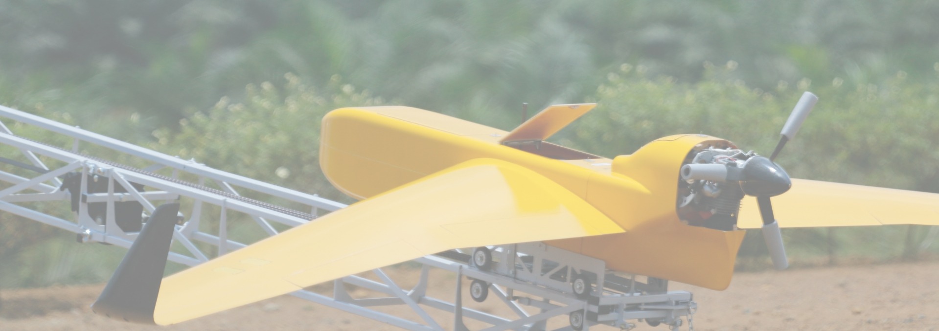
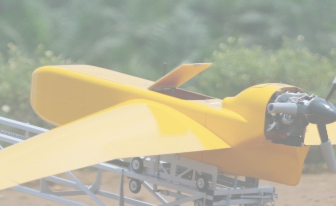
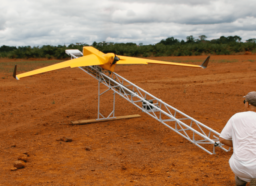
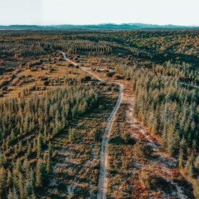
The BOREAL NRM UAV is equipped with the most powerful photogrammetry equipment available on the market, making it possible to map large areas that are inaccessible to traditional mapping aircraft. The flight control system has been designed to optimize image capture control and coverage of areas larger than 20,000 hectares (50,000 acres).
Mapping payloads
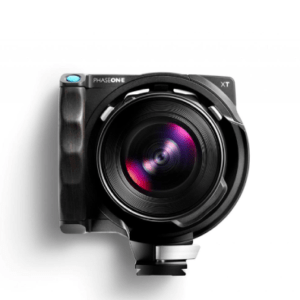
Phase One
150 Megapixels
23 mm (09 in) lens
Very high definition
Ethernet connection from the ground station (via the data link)
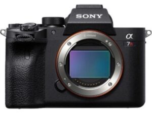
Sony Alpha 7R
61 Megapixels
23 mm (0,9 in) lens
10 fps burst
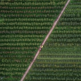
Crop monitoring made easy
Crop monitoring is made simpler with our system, which can fly over tens of thousands of acres. The BOREAL NRM remotely piloted aircraft provides a comprehensive and precise view of cultivated areas with a resolution of 1 to 3 cm (0.39 to 1.18 inches) per pixel. Human intervention is facilitated when needed, such as for monitoring water stress or pest control.
Please note that image processing services are offered by our partners.
Technical features to serve the image
While most mapping systems are conducted by quadcopters or small fixed-wing UAVs, our solution stands out due to its 4.20 m (13 ft 9 in) wingspan. Its large carrying capacity enables it to perform missions over several thousand acres with ease.
L'Avion Jaune appreciates the constancy of the efforts made by BOREAL to produce a drone system capable of safely carrying our payloads, for missions where endurance is the quality sought.
Bruno RouxDevelopment Manager Avion Jaune
”
They trust us
Contact Us
Are you looking for a UAV solution?
We are available to work with you to determine the most suitable solution according to your needs.
Notre site utilise des cookies pour vous distinguer de ses autres utilisateurs. Cela nous aide à vous offrir une expérience agréable lorsque vous naviguez sur ce site et à améliorer ce dernier.
This website uses cookies to improve your experience while you navigate through the website. Out of these, the cookies that are categorized as necessary are stored on your browser as they are essential for the working of basic functionalities of the website. We also use third-party cookies that help us analyze and understand how you use this website. These cookies will be stored in your browser only with your consent. You also have the option to opt-out of these cookies. But opting out of some of these cookies may affect your browsing experience.