The CARTONUIT project, supported by the Occitanie Region, aims to preserve the environment, infrastructure, and human life
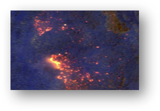
During the summer months, extremely high temperatures make forested areas vulnerable to fires. Nighttime firefighting can be particularly challenging due to factors such as darkness, the nature of the fire, and the inability of aerial means to intervene once night has fallen. To address this, the CARTONUIT project, co-financed by the Occitanie region, aims to propose a drone solution for nighttime surveillance of forest fires. In addition to active aerial means during the day, the drone allows for nighttime action to establish a situation report and aid in coordination of firefighting efforts. After the fire, it can also detect hot spots to prevent reignition.
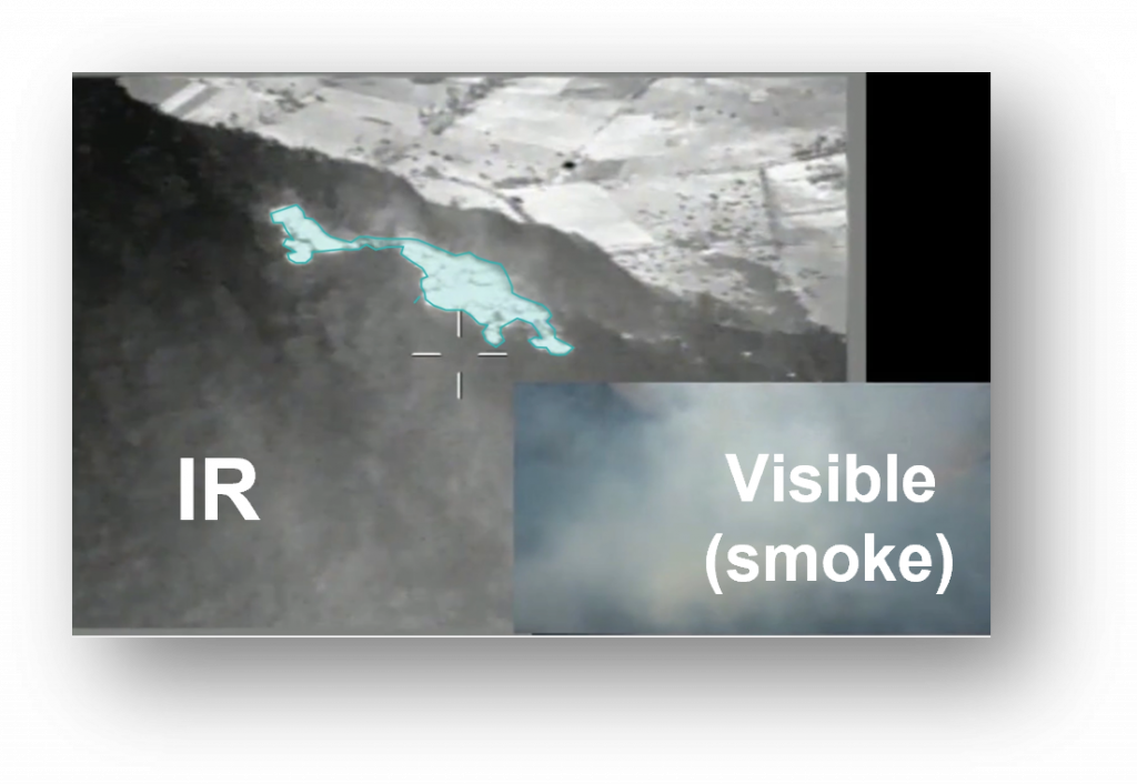
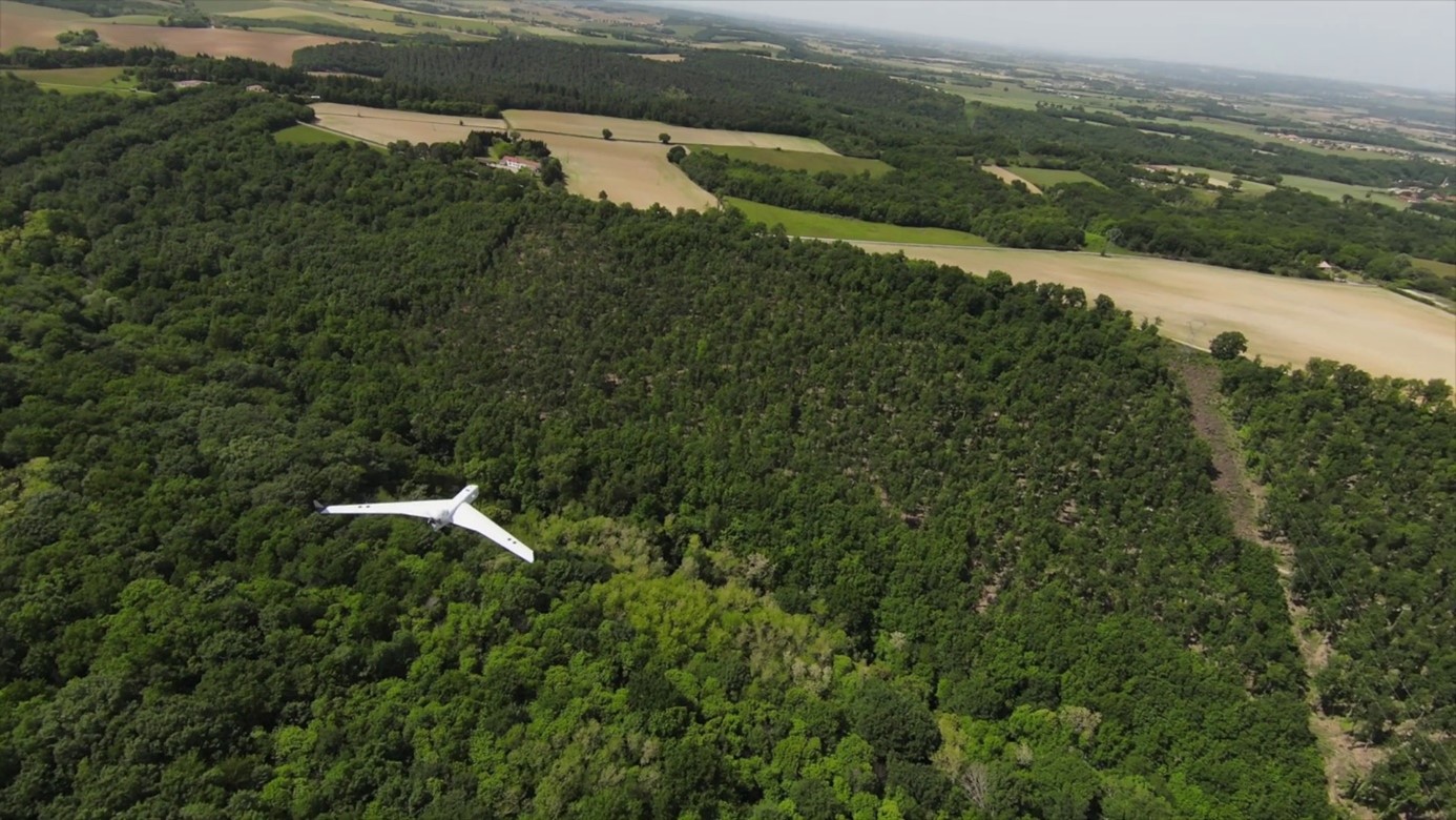
The CARTONUIT project is led by a consortium composed of BOREAL SAS, the manufacturer and operator of the BOREAL ISR long-range drone, and the MAGELLIUM company, which specializes in geoinformation and image processing. Its aim is to propose a drone-based solution for nighttime monitoring of fire fronts and residual hot spots. To support and facilitate the action of ground forces, this surveillance solution utilizes an automatic mapping system that is based on the geolocation of video streaming (developed by MAGELLIUM) and integrated into the BOREAL long-range drone.
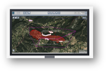
The drone system proposed by the consortium enables the creation of an accurate map of the fire, allowing real-time evaluation of its evolution. The operator updates the situation map to efficiently direct firefighting actions as soon as aerial intervention conditions become possible.
This nighttime surveillance solution will help develop intervention and firefighting capabilities at night for fires larger than 80 hectares. The project is expected to pave the way for the use of drone technologies in emergency situations, complementing existing means. Finally, the project opens possibilities by addressing other applications such as mapping and real-time supervision of natural disaster zones.
The response to these challenges paves the way for developments that can bring significant societal benefits using new technologies, which can make natural disaster management more effective and save human lives.