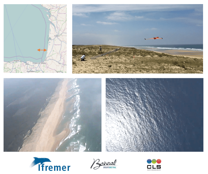
Flight campaign with the BOREAL drone for the ETOILE Project
As part of the ETOILE oceanographic measurement campaign, IFREMER-CLS and BOREAL deployed in situ resources (CNRS oceanographic vessel), aerial (the BOREAL drone) and space (CLS acquisition and processing systems), in order to characterize the surface of the sea during the passage of internal waves near the continental slope. The BOREAL drone was used in coordination … Read more


